Wireless Sensor Network: Fire Forest Monitoring & Detection
Project Overview
Sponsored by Ministry of Higher Education, Science, and Technology Indonesia
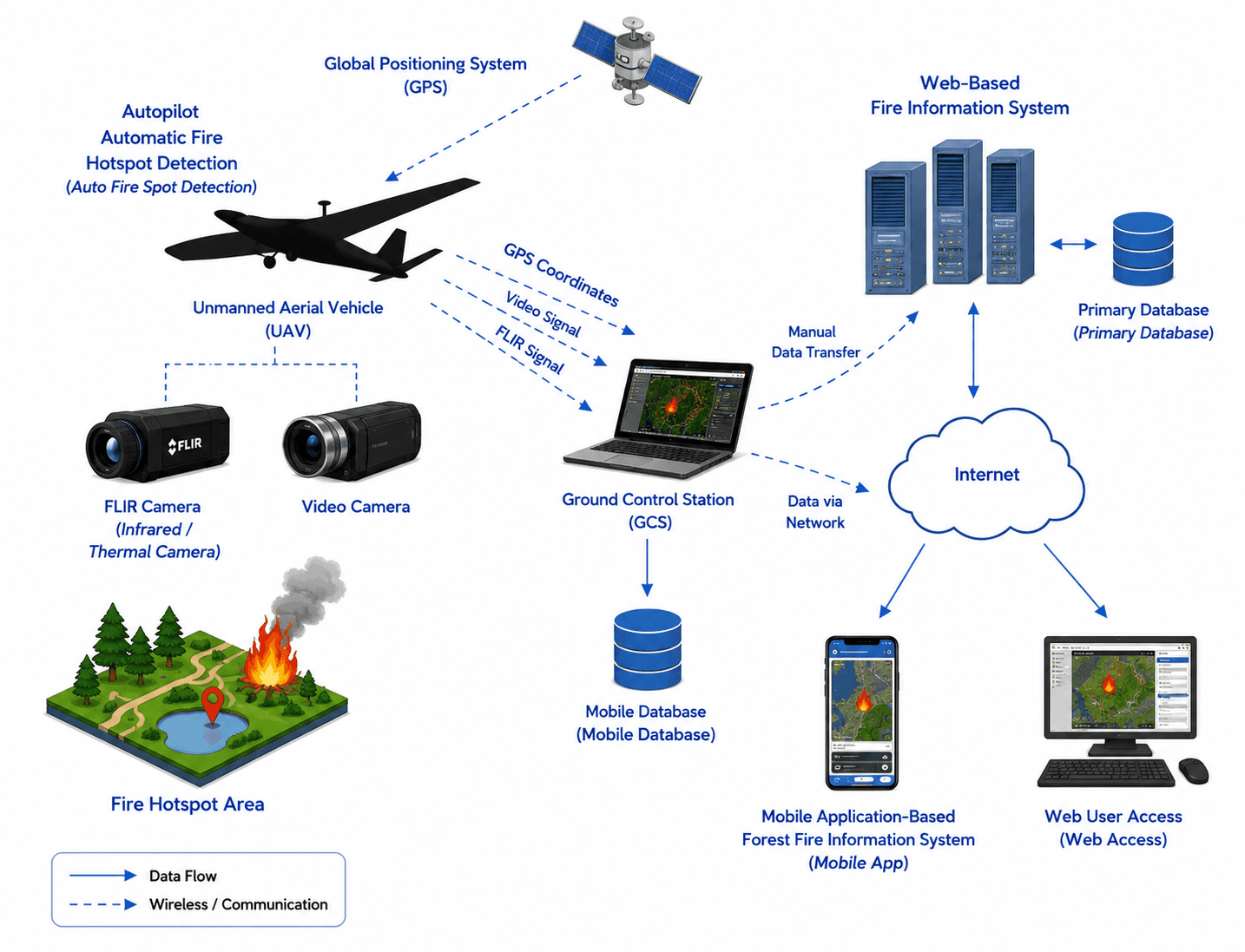
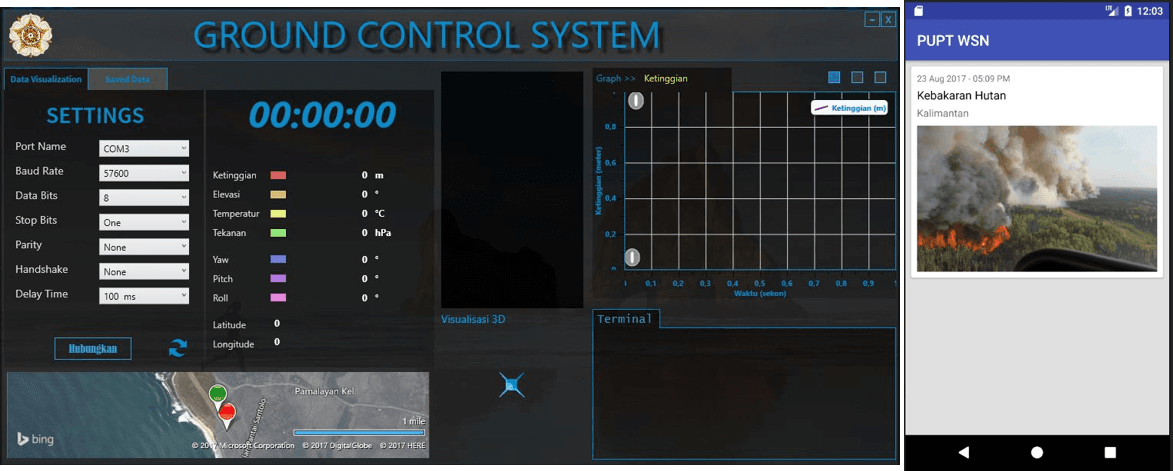
The unmanned aerial vehicle (UAV) autonomously flies around forest fire areas and automatically detects fire hotspots through image recognition, along with recording GPS coordinates and capturing video samples, which are then transmitted via a telemetry system to the Ground Control Station (GCS).
The location information, video samples (or images), terrain details, and other environmental parameters such as temperature, wind speed, and air humidity are subsequently uploaded to the information system server, allowing users to access them through web-based platforms or mobile applications. More comprehensive and detailed information is stored in the primary geospatial database.
Problem
Forest fire monitoring and UAV telemetry systems required reliable real-time control, GPS tracking, and thermal sensor integration for autonomous fire hotspot detection and aerial surveillance in remote areas.
Approach
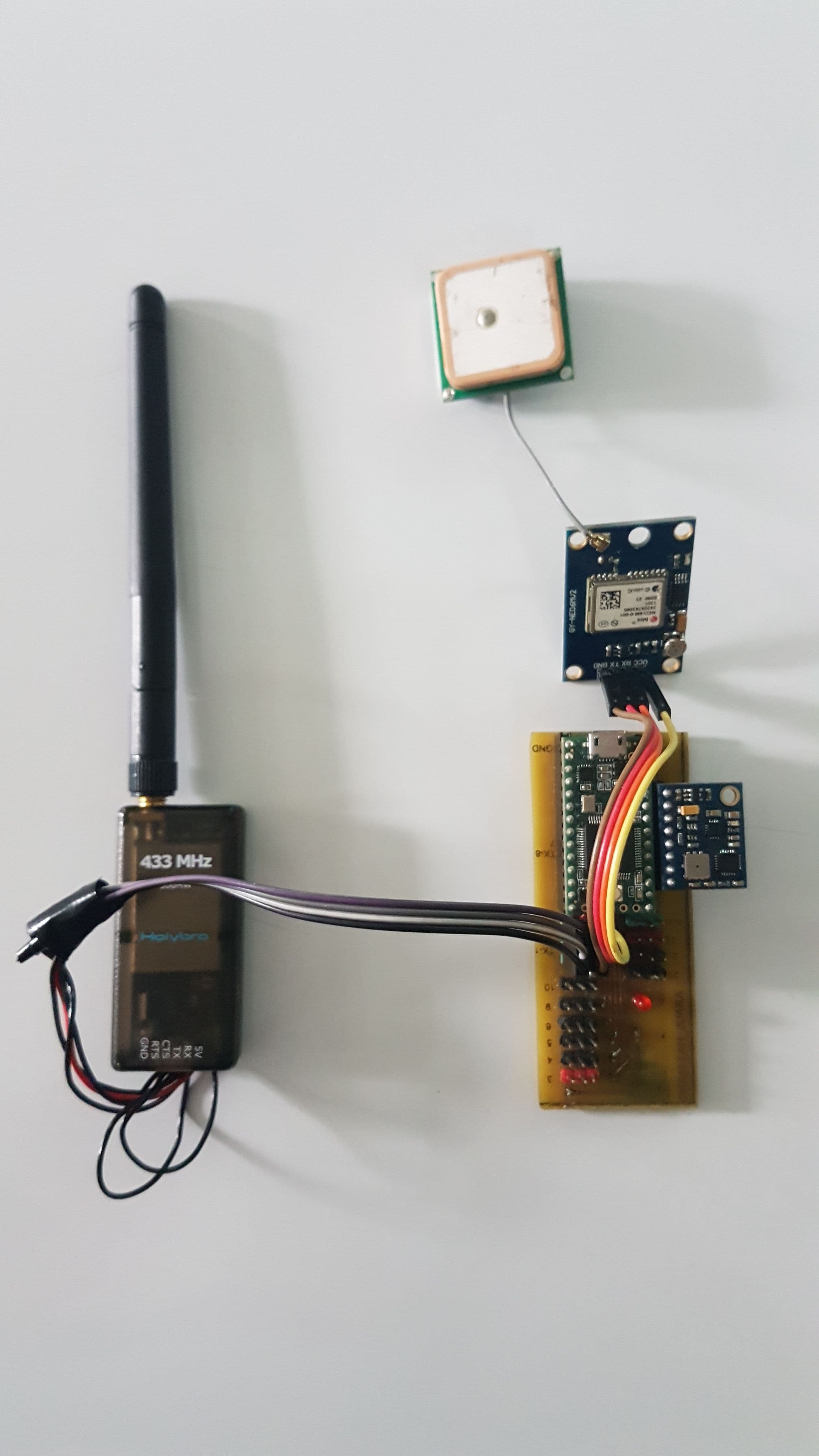
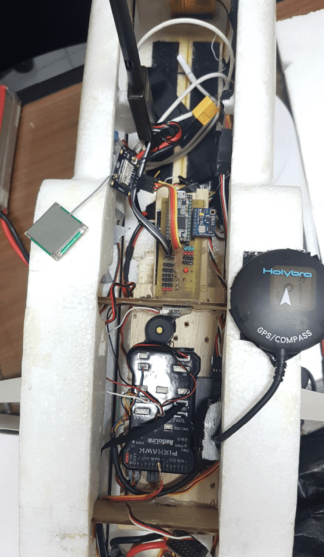
Developed UAV hardware and embedded communication systems (C arduino_ for flight control, GPS telemetry, and thermal sensor integration, including real-time data transmission between UAV and Ground Control Station (GCS).
Key Results & Impact
- ✓Delivered a UAV-based fire monitoring platform capable of real-time GPS tracking, thermal sensing, telemetry communication, and aerial hotspot surveillance for wildfire monitoring operations.
Technologies Used
Additional Information
Related Projects
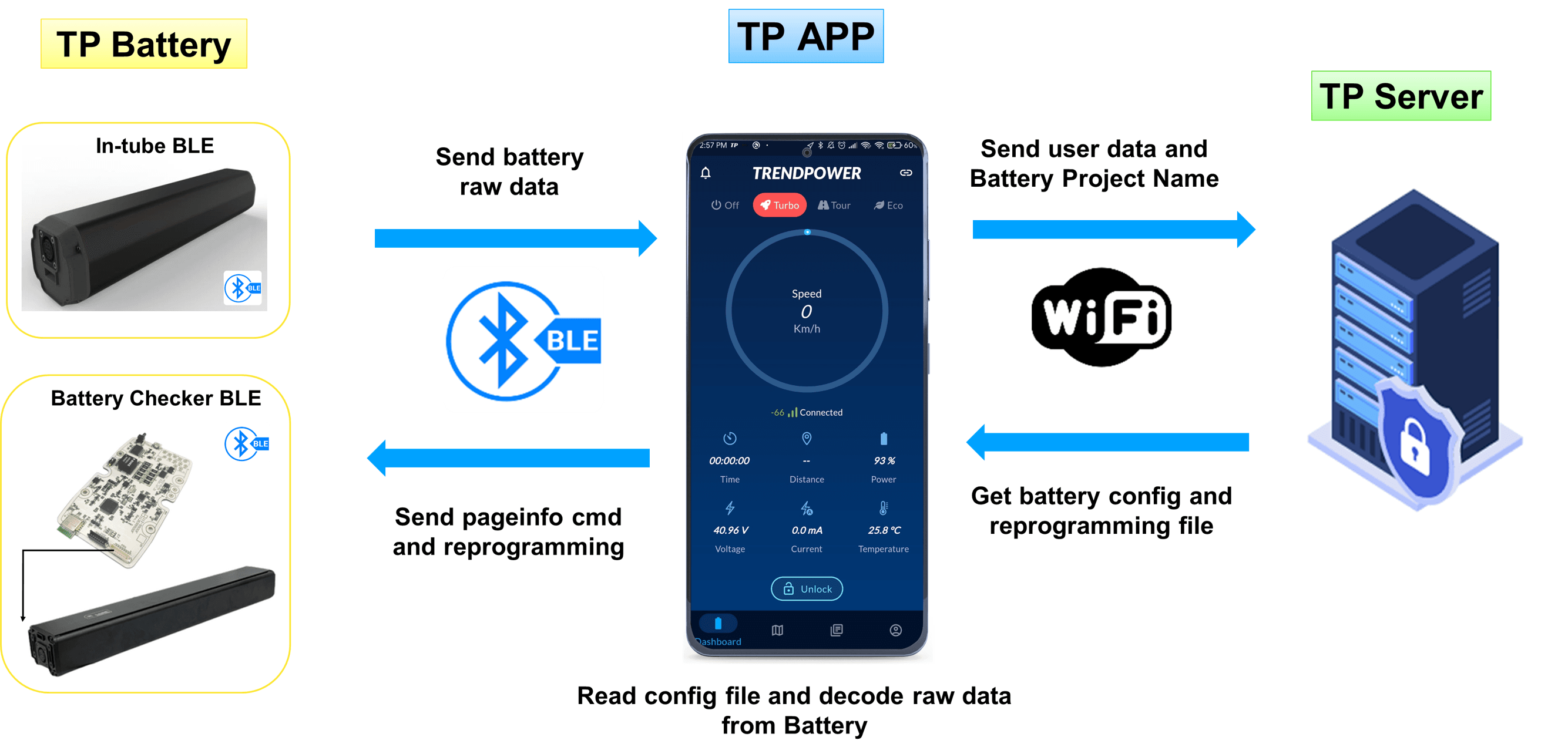
Mobile App for Battery Management System
The first cross-platform e-bike BMS app with BLE diagnostics, OTA updates, and real-time battery monitoring.
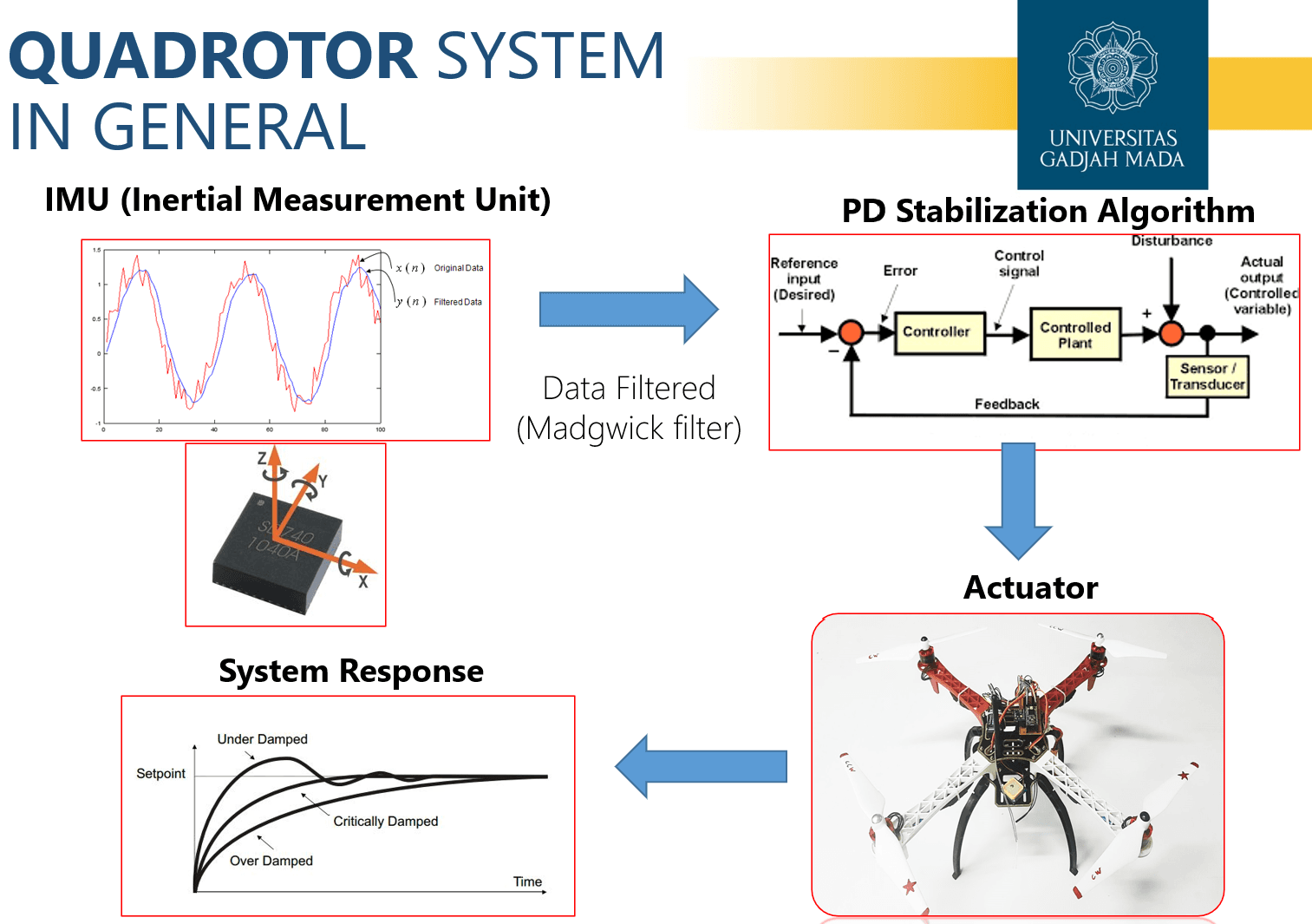
Final Project: Implementation of Quadrotor UAV PD Stabilization on Quaternions with Madgwick Filter
Built a quaternion-based quadrotor stabilization system using Madgwick filter and PD control for real-time UAV attitude stability.
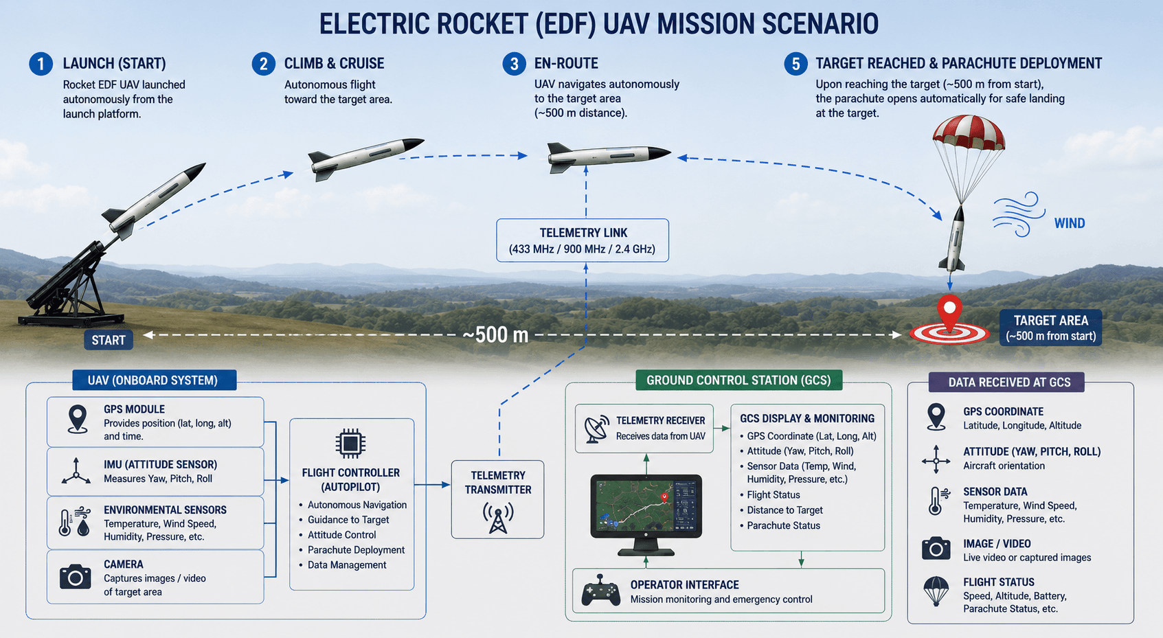
EDF Aircraft Competition - National Institute of Aeronautics and Space
Aircraft Electric-Ducted-Fan (EDF) Control in reaching targets horizontally.